How Corona changes the weather forecast
Aircrafts not
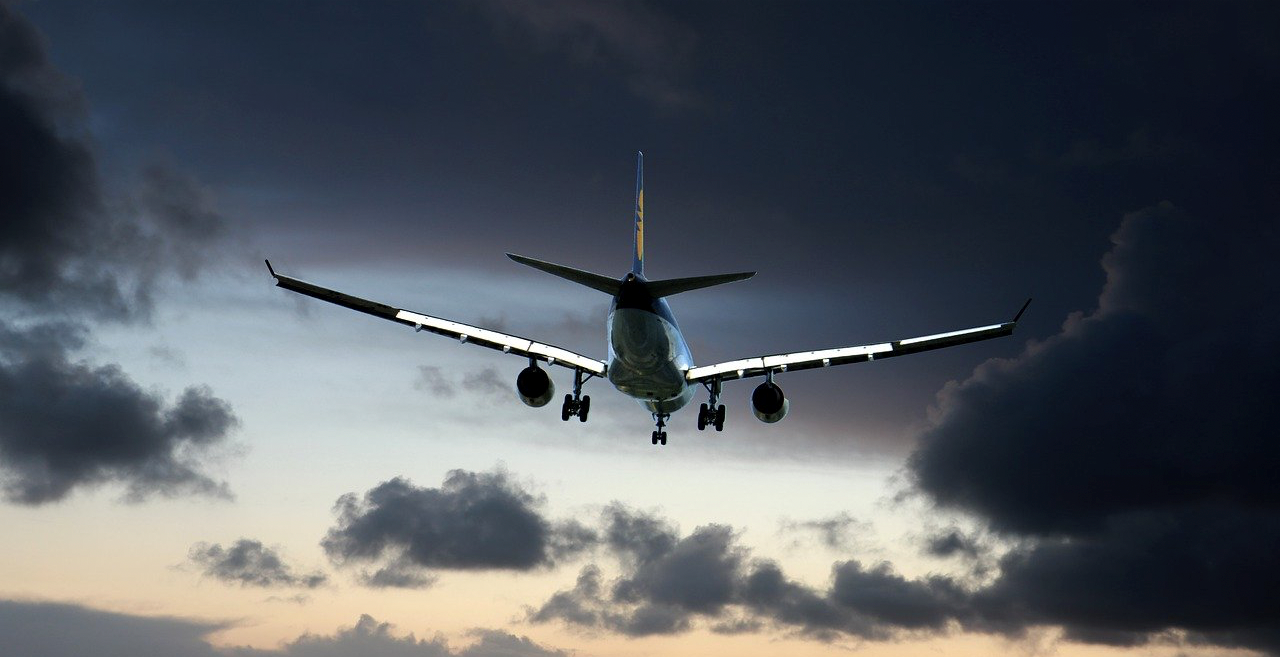
only transport people or freight. No – they are also an important source of information
for meteorologists. Aircrafts collect weather data during flights, for example
on temperature, wind speed or humidity, and send it to ground stations.
In 1991 the
international program AMDAR (Aircraft Meteorological Data Relay) was launched
by the World Meteorological Organization.
Since then, AMDAR
has collected 50,000 weather data sets in Europe every day. These are
particularly valuable because aircrafts collect the data from different
altitudes. So-called vertical profiles can be created by measuring from
take-off to cruising altitude.
“When it comes
to the weather, there is a correlation between conditions at different
altitudes,” explains Nikolas Zimmermann from the international weather
service UBIMET. “When you make weather forecasts, you work from top to
bottom”. Therefore,
vertical profiles can represent the instability of the atmosphere extremely
well.
So how exactly
does AMDAR work?
The on-board
temperature, pressure and humidity sensors permanently record data. While still
in the aircraft, this data is pre-processed and transmitted to the ground via short
wave or satellite connection. Afterwards the collected data is subjected to a
strict quality control and then transmitted to the participating institutions.
Due to the declining demand for air travel caused by the spread of the corona virus (SARS-CoV-2), many flights were cancelled. At Lufthansa, which collects the weather reports for the German weather forecast service, the flight schedule was cut by 95%. As a result, less than 20,000 weather reports per day were collected in March – a decrease of more than 60%.
The extent to
which the missing data will affect the quality of weather forecasts is
difficult to say. In an experiment conducted by the European Centre for
Medium-Range Weather Forecasts (ECMWF), forecasts were made once with and once
without the weather data from aircraft. The result: the quality of the weather
forecasts decreased on average by 10%. But no need to worry. After all, ground
measuring stations and satellites also provide the necessary information. In
addition, weather balloons are used to compensate for this lack of data. The
satellite ‘Aeolus’, which was launched in 2018, will also be able to support
this. This satellite uses a new method to measure the wind conditions in the
atmosphere by using laser technologies.
Nevertheless, the
missing data definitely has an impact on our lives. The lack of vertical
profiles makes it harder to predict low-pressure areas. For instance, a
thunderstorm or rain shower can surprise us more often. Therefore, our tip for
November: Better bring an umbrella!
How Corona changes the weather forecast
Aircrafts not only transport people or freight. No – they are also an important source of information for meteorologists. Aircrafts collect weather data during flights, for example on temperature, wind speed or humidity, and send it to ground stations.
In 1991 the international program AMDAR (Aircraft Meteorological Data Relay) was launched by the World Meteorological Organization.
Since then, AMDAR has collected 50,000 weather data sets in Europe every day. These are particularly valuable because aircrafts collect the data from different altitudes. So-called vertical profiles can be created by measuring from take-off to cruising altitude.
“When it comes to the weather, there is a correlation between conditions at different altitudes,” explains Nikolas Zimmermann from the international weather service UBIMET. “When you make weather forecasts, you work from top to bottom”. Therefore, vertical profiles can represent the instability of the atmosphere extremely well.
So how exactly does AMDAR work?
The on-board temperature, pressure and humidity sensors permanently record data. While still in the aircraft, this data is pre-processed and transmitted to the ground via short wave or satellite connection. Afterwards the collected data is subjected to a strict quality control and then transmitted to the participating institutions.
Due to the declining demand for air travel caused by the spread of the corona virus (SARS-CoV-2), many flights were cancelled. At Lufthansa, which collects the weather reports for the German weather forecast service, the flight schedule was cut by 95%. As a result, less than 20,000 weather reports per day were collected in March – a decrease of more than 60%.
The extent to which the missing data will affect the quality of weather forecasts is difficult to say. In an experiment conducted by the European Centre for Medium-Range Weather Forecasts (ECMWF), forecasts were made once with and once without the weather data from aircraft. The result: the quality of the weather forecasts decreased on average by 10%. But no need to worry. After all, ground measuring stations and satellites also provide the necessary information. In addition, weather balloons are used to compensate for this lack of data. The satellite ‘Aeolus’, which was launched in 2018, will also be able to support this. This satellite uses a new method to measure the wind conditions in the atmosphere by using laser technologies.
Nevertheless, the missing data definitely has an impact on our lives. The lack of vertical profiles makes it harder to predict low-pressure areas. For instance, a thunderstorm or rain shower can surprise us more often. Therefore, our tip for November: Better bring an umbrella!